Heads up – Massive Sports Tech Holiday Deals List is Live!!! The Garmin Fenix 8 is $250 off (even the Fenix 8 Pro is $100 off!), the Apple Watch Ultra 3 is on sale, the Garmin inReach Mini 2 is $249, the GoPro Hero 13 Black, DJI NEO, and a ton of other brands/deals, including Wahoo, Oura, Whoop, Polar, Samsung, Google, and more than 100 sports tech deals here!
I’m DC RAINMAKER…

I swim, bike and run. Then, I come here and write about my adventures. It’s as simple as that. Most of the time. If you’re new around these parts, here’s the long version of my story.

You'll support the site, and get ad-free DCR! Plus, you'll be more awesome. Click above for all the details. Oh, and you can sign-up for the newsletter here!
Here’s how to save!
Wanna save some cash and support the site? These companies help support the site! With Backcountry.com or Competitive Cyclist with either the coupon code DCRAINMAKER for first time users saving 15% on applicable products.
You can also pick-up tons of gear at REI via these links, which is a long-time supporter as well:Alternatively, for everything else on the planet, simply buy your goods from Amazon via the link below and I get a tiny bit back as an Amazon Associate. No cost to you, easy as pie!
You can use the above link for any Amazon country and it (should) automatically redirect to your local Amazon site.
While I don't partner with many companies, there's a few that I love, and support the site. Full details!

Want to compare the features of each product, down to the nitty-gritty? No problem, the product comparison data is constantly updated with new products and new features added to old products!

Wanna create comparison chart graphs just like I do for GPS, heart rate, power meters and more? No problem, here's the platform I use - you can too!

Think my written reviews are deep? You should check out my videos. I take things to a whole new level of interactive depth!

Smart Trainers Buyers Guide: Looking at a smart trainer this winter? I cover all the units to buy (and avoid) for indoor training. The good, the bad, and the ugly.
-
Check out my weekly podcast - with DesFit, which is packed with both gadget and non-gadget goodness!

Get all your awesome DC Rainmaker gear here!
FAQ’s
I have built an extensive list of my most frequently asked questions. Below are the most popular.
- Do you have a privacy policy posted?
- Why haven’t you yet released a review for XYZ product you mentioned months ago?
- Will you test our product before release?
- Are you willing to review or test beta products?
- Which trainer should I buy?
- Which GPS watch should I buy?
- I’m headed to Paris – what do you recommend for training or sightseeing?
- I’m headed to Washington DC – what do you recommend for training?
- I’m from out of the country and will be visiting the US, what’s the best triathlon shop in city XYZ?
- What kind of camera do you use?
-
5 Easy Steps To The Site
In Depth Product Reviews
You probably stumbled upon here looking for a review of a sports gadget. If you’re trying to decide which unit to buy – check out my in-depth reviews section. Some reviews are over 60 pages long when printed out, with hundreds of photos! I aim to leave no stone unturned.
Read My Sports Gadget Recommendations.
Here’s my most recent GPS watch guide here, and cycling GPS computers here. Plus there are smart trainers here, all in these guides cover almost every category of sports gadgets out there. Looking for the equipment I use day-to-day? I also just put together my complete ‘Gear I Use’ equipment list, from swim to bike to run and everything in between (plus a few extra things). And to compliment that, here’s The Girl’s (my wife’s) list. Enjoy, and thanks for stopping by!
Have some fun in the travel section.
I travel a fair bit, both for work and for fun. Here’s a bunch of random trip reports and daily trip-logs that I’ve put together and posted. I’ve sorted it all by world geography, in an attempt to make it easy to figure out where I’ve been.
My Photography Gear: The Cameras/Drones/Action Cams I Use Daily
The most common question I receive outside of the “what’s the best GPS watch for me” variant, are photography-esq based. So in efforts to combat the amount of emails I need to sort through on a daily basis, I’ve complied this “My Photography Gear” post for your curious minds (including drones & action cams!)! It’s a nice break from the day-to-day sports-tech talk, and I hope you get something out of it!
The Swim/Bike/Run Gear I Use List
Many readers stumble into my website in search of information on the latest and greatest sports tech products. But at the end of the day, you might just be wondering “What does Ray use when not testing new products?”. So here is the most up to date list of products I like and fit the bill for me and my training needs best! DC Rainmaker 2024 swim, bike, run, and general gear list. But wait, are you a female and feel like these things might not apply to you? If that’s the case (but certainly not saying my choices aren’t good for women), and you just want to see a different gear junkies “picks”, check out The Girl’s Gear Guide too.

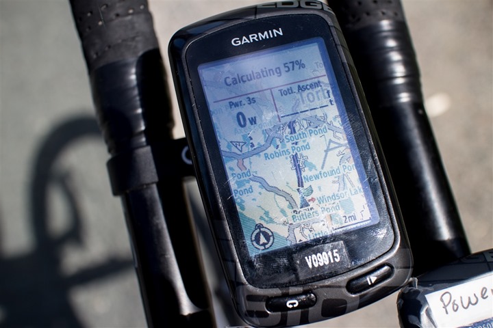
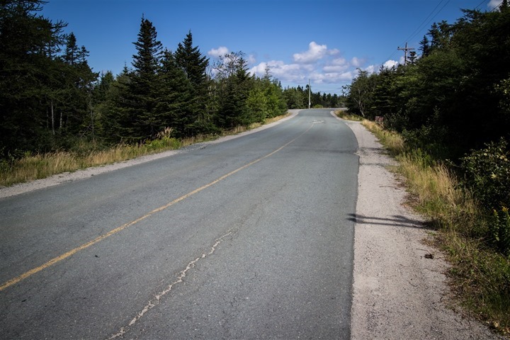
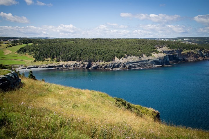
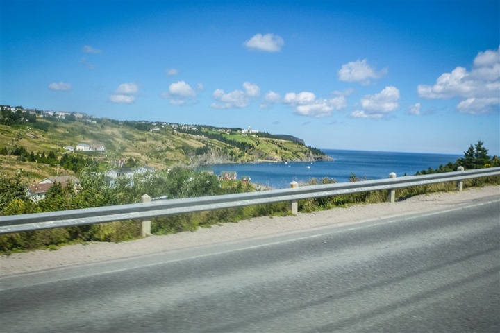
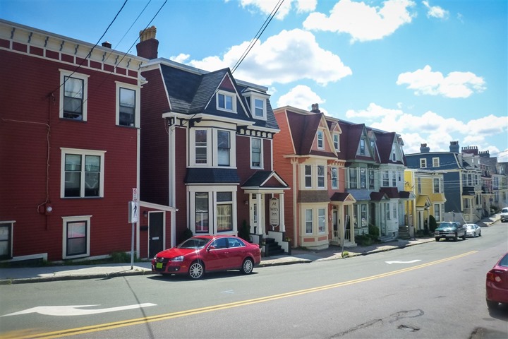
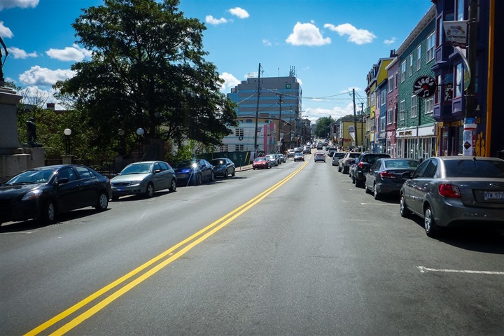
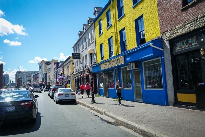
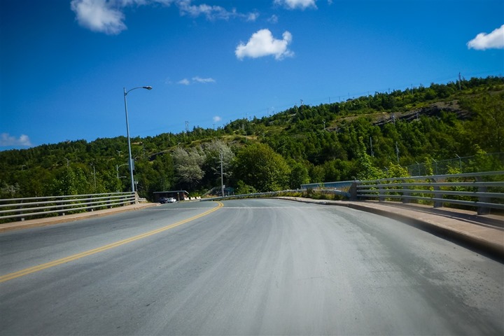
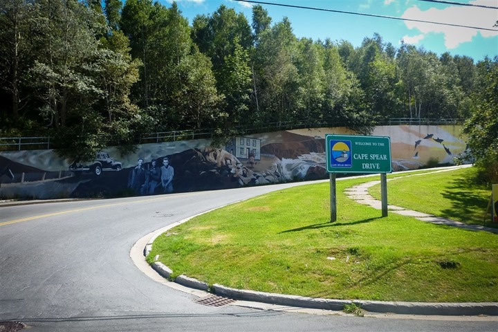
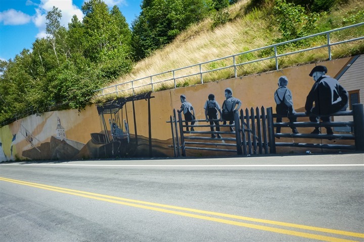
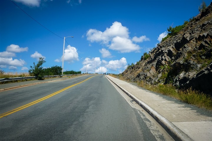
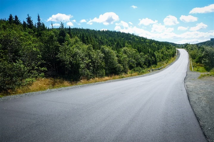
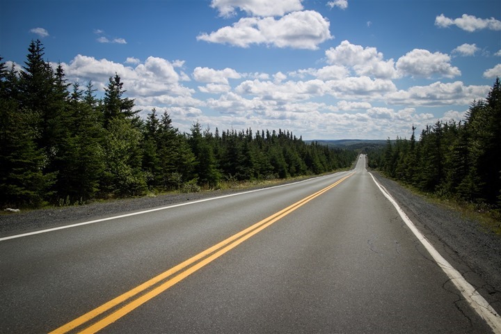
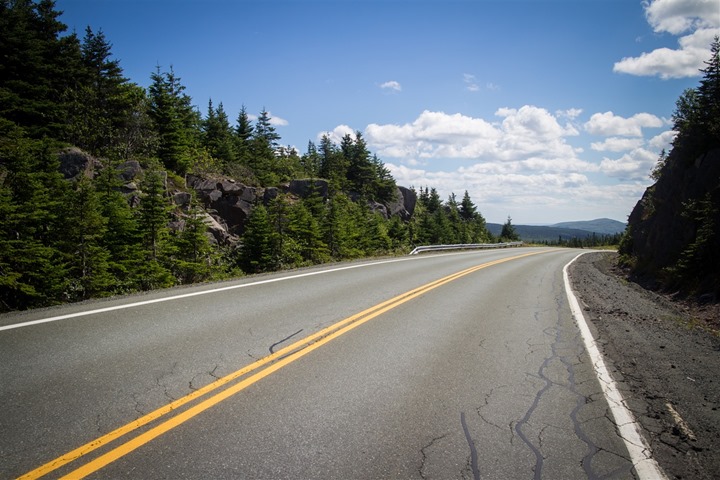
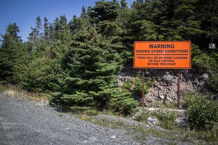
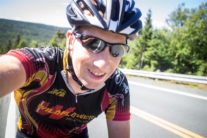
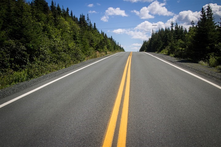
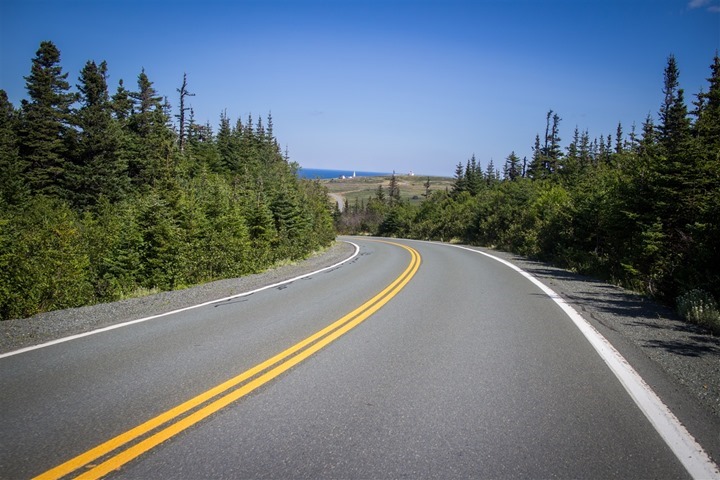
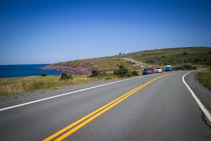
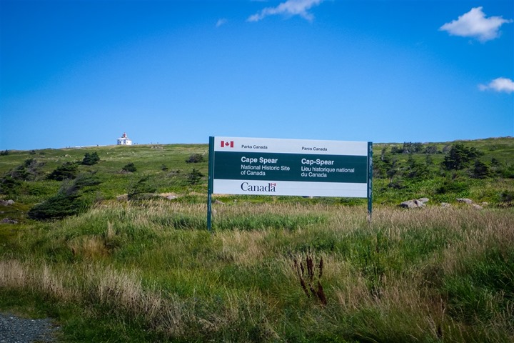
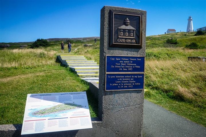
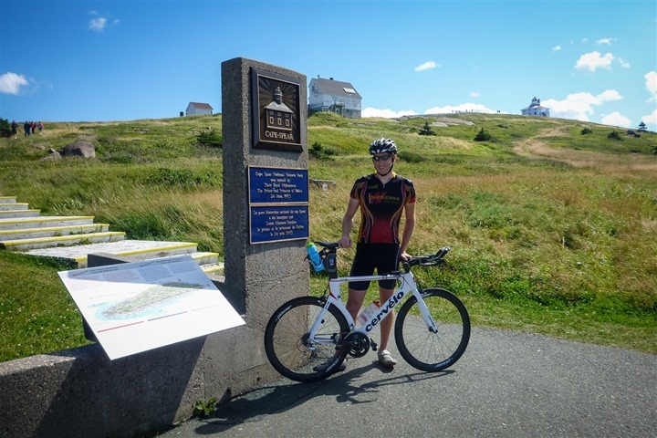
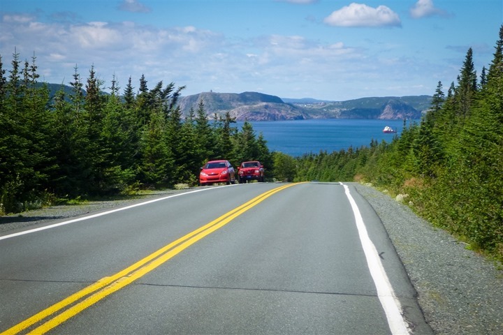
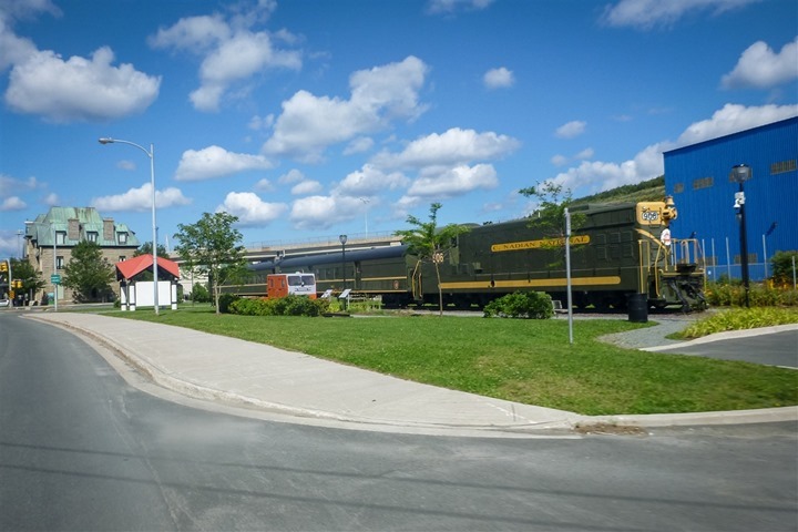
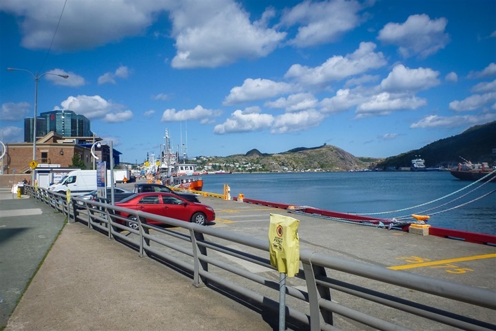
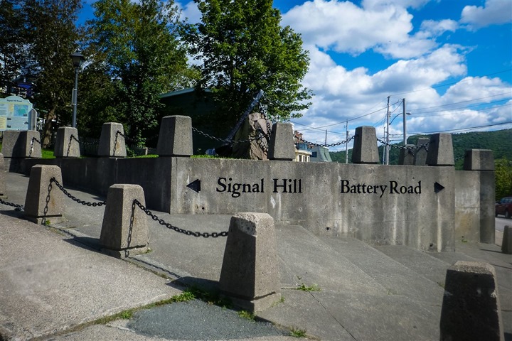
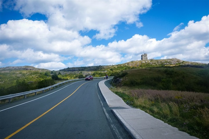
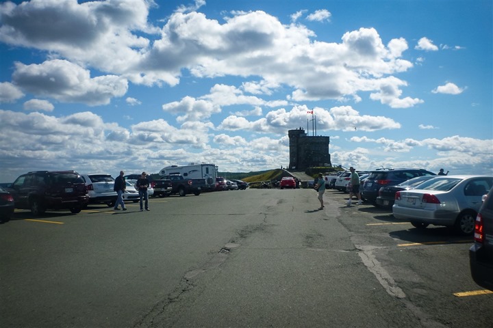
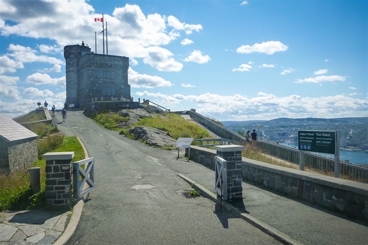
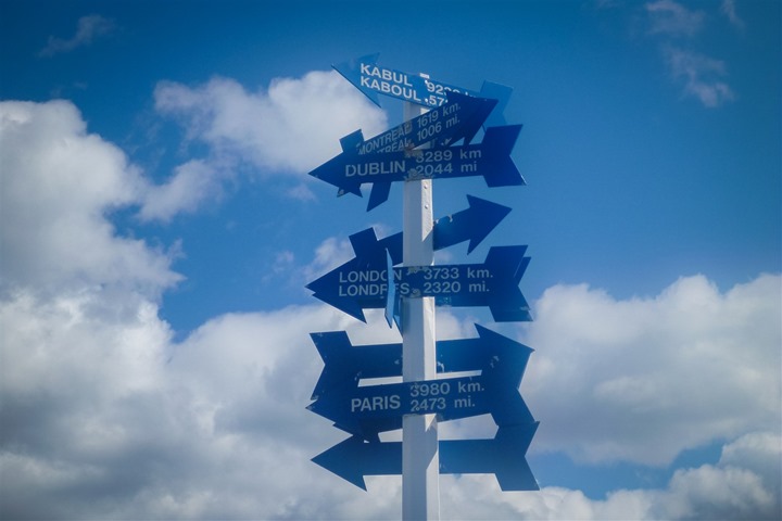
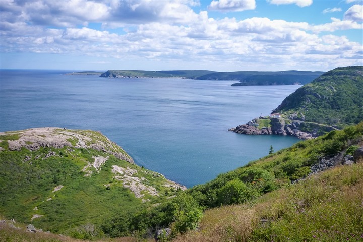
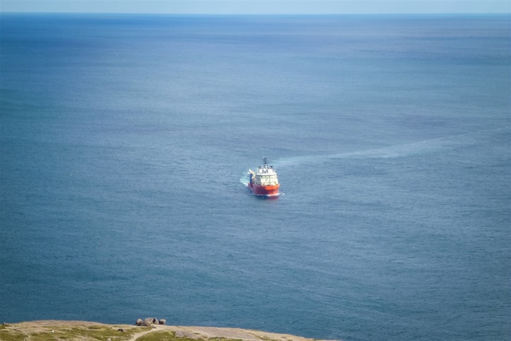
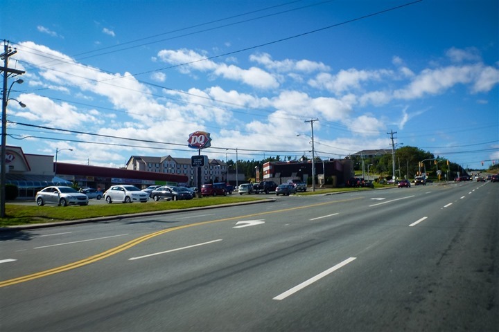
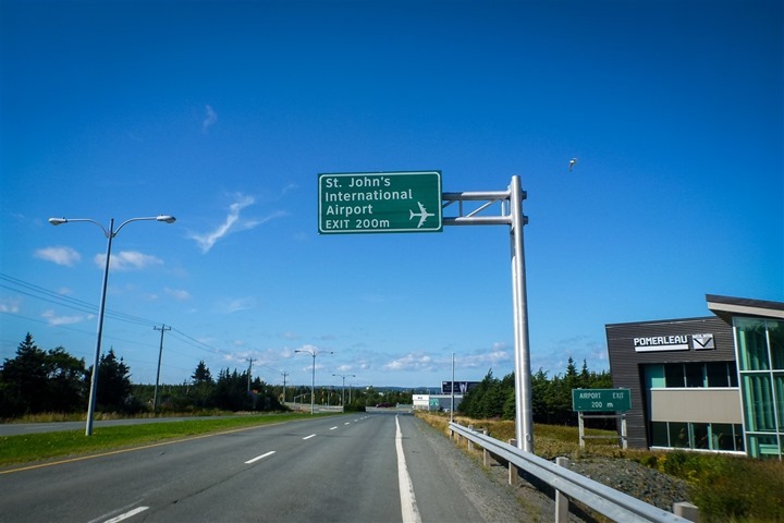
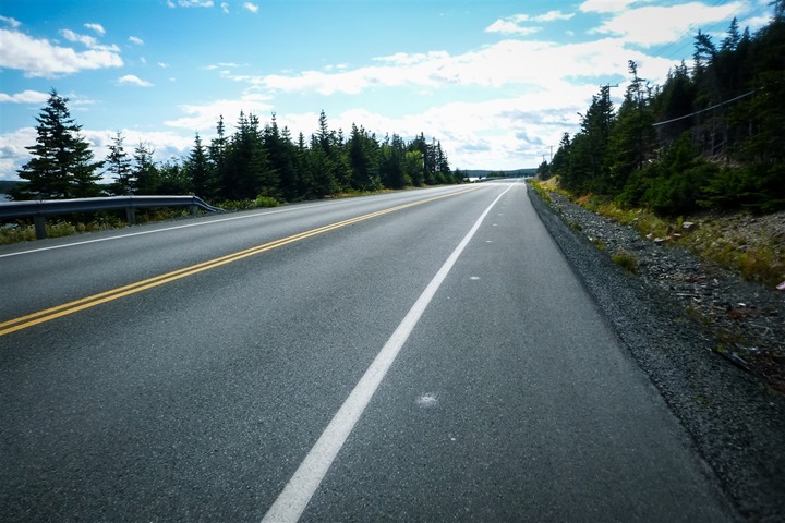
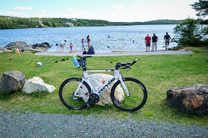
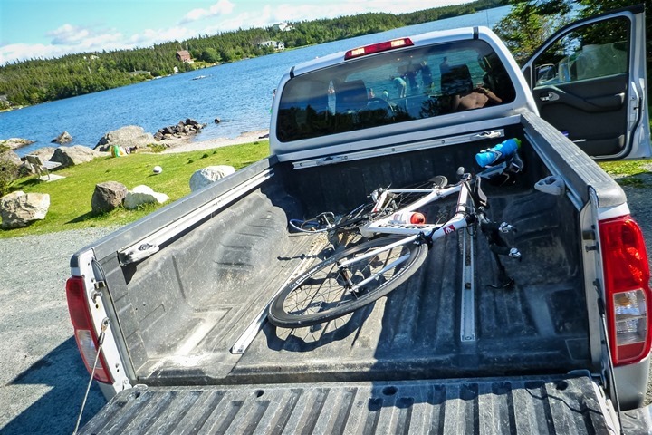
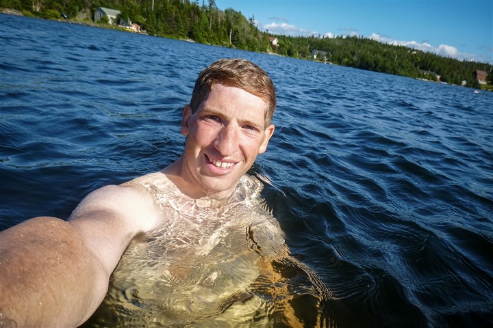
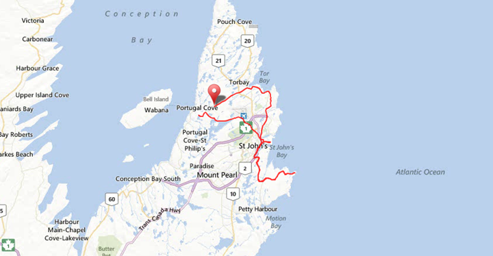


‘Toss the bike into the truck’….*calculates fiscal situation……*shudders!
So, following the literal naming protocol is “Conception Bay South” on the map a place or directions? – seriously though, looks like a very beautiful place. Another one for the bucket list. Hope you and the Girl enjoyed your well earned holiday.
Nice report Ray; Newfoundland looks stunning.
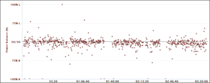
Q: Does the L/R balance (reported by Quarq or Vector) correlate with the overall power reported by the Stages? What I mean is, when (say) Vector is saying 49% L/R (L leg is 49%, R leg 51%), is the total power reported by the Stages unit 98% of the total power reported by Vector/Quarq/Powertap?
In some cases it seems to at a high level glance, but I haven’t looked at it in-depth. In general I’m finding the Stages is lower than Vector in almost every case.
But the stages is pretty consistent, correct?
It does seem to be, within the bounds of whether or not my balance is consistent.
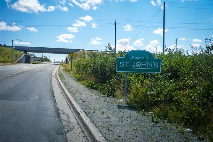
Great article… I’m from/live Here. Sweet
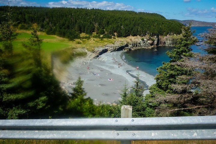
Beautiful pics of the countryside. I would love to visit there.
Great seeing your review of cycling on the Northeast Avalon. To get a different perspective of the route you biked, you should come next October (sorry; sold out this year in less than 6 hours!) and run the 20k Cape to Cabot Road Race, where runners start at Cape Spear and end up running to the top of Signal Hill. There is also a race within a race component at the base of Signal Hill, which is basically a mile long up-hill sprint to the finish.Check it out here as it claims to be the toughest race in eastern north america, as only about 3 k of the 20k are flat. link to capetocabot.com
Yup, it’s funny, i saw the kilometer meters along the roadway for that – as well as even the markers for the water tables.
It would indeed be a brutal course. I’d love to come out and do the Tely 10 next year, especially if a certain someone (cough…The Girl’s Dad), signs up. ;)
What a beautiful place!
Do a lot of Americans visit that area of New Foundland as tourists? Does one fly in or take a ferry? Are there hotels or bed & breakfasts?
You can fly or ferry, but most will likely fly (since the ferry is a haul). There’s hotels in the St. John’s area, as well as Bed and Breakfasts. Once you’re outside of the greater St. John’s area the number of major chain hotels diminishes, but there’s plenty of cute little Bed and Breakfasts and smaller hotels.
I’ve seen quite a few tourists up here over the years, though I see them from pretty much everywhere. The region is also popular with cruise ships coming through, many with Europeans.
Great ride, I ride to the Cape at least once a week, it’s a great ride to do in a short period of time, can also go out through Petty Harbour/Maddox Cove for some additional scenery and climbing!!
This looked like an amazing route. Know any scenic routes similar to this one along the coast in the US?
Plenty in California up along the coastline, and likely a number in New England as well that rival this. Obviously a number of options for coastline riding along the Gulf and in Florida, but from my experience, they’re a bit flatter. ;)
Yes, the Tely 10 is a great race; possibly the main reason why road racing continues to grow as a sport here. But beware that if you race our fabled Tely, it has its own demons because even though it’s a deceptively easy net down hill route, it is usually run a very, very humid day in late July, which brings the challenge of not bonking in that last mile due to the accumulative effect of nine miles of high humidity.
Good luck with encouraging the Girl’s Dad. Something that may be helpful would be to point out to him that the race’s namesake, The Telegram, publishes a weekly training schedule for the Tely 10 starting in early May, if he wants to follow a program that will help him complete it for the first time.
It wouldn’t be his first time. He has a rather fast sub-65 time on the books. ;)
Hey Ray, I’d love to see a photo of one of this mini row-house ornaments that your father-in-law made for you guys. That sounds like an awesome idea and I’d like to try my hand at it. Thanks!
I can’t quite seem to find a picture with the whole role of them lined up together (pre-putting on tree). But I did find some pics with a couple of them on the tree:
link to sites.google.com
link to sites.google.com
They’re perhaps an 1.25-1.5″ tall.
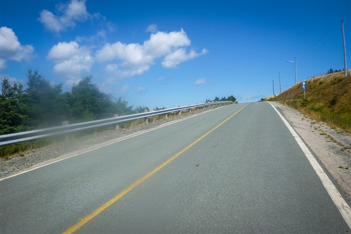
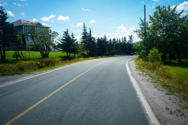
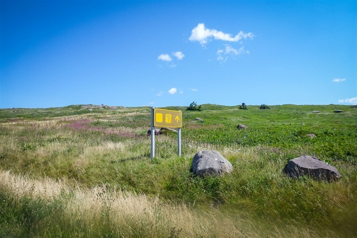
looks like a great ride, no cars on the road.
Never lay your bike down on the derailleur side. It’ll surely get messed up.
It’s not laid down derailleur side.
Sunglasses inside the straps? Against the rules!
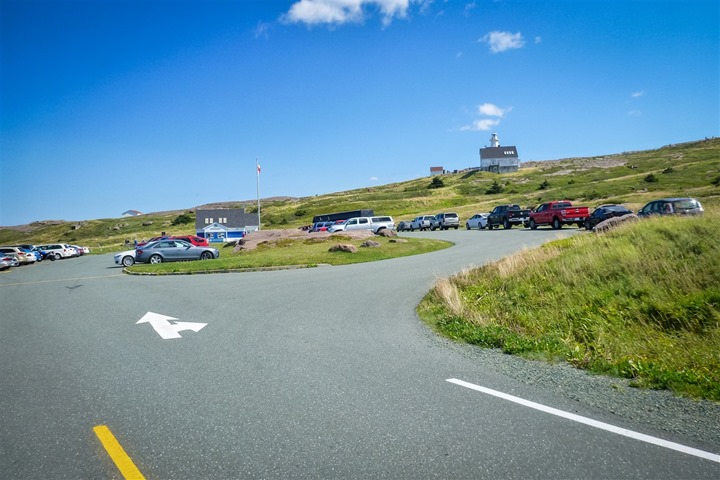
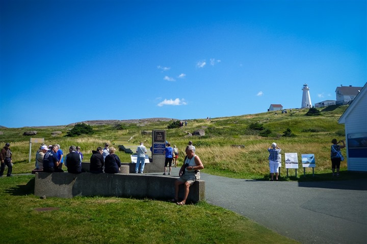
Now that brings me back. I went to Brother Rice High School in St.John’s in ’97. A buddy and I biked Marine Drive almost everyday one summer. Even made the same trip out to cape spear one day. Had to call the old man at work to come get us though once there. He was not impressed, lol.
Great article Ray, stunning vistas!
Technically that is not the most eastern point of North America though.
Which US states are the furthest North, South, East and West is a great trivial pursuit question and surprisingly few Americans know the correct answer.
Think about it for a bit and then take a look at this link for the answer:
link to geography.about.com
Well, it depends. ;)
If you look at lat/long – it’s in Alaska (as it wraps over). However, if you use the definition that just about everyone else does on the planet, it’s Cape Spear. Notably, that if you were to be plopped in the middle of North America, the furthest East you could go would be Cape Spear.
link to en.wikipedia.org
Were the photos taken with the new Canon?
Most of them, yup (the EOS-M). Well, up until Cape Spear, at which point my battery ran out and I had to switch back to the little waterproof Panasonic unit instead. I charged a gazillion other units for this ride, but completely forgot to charge the EOS-M’s battery.
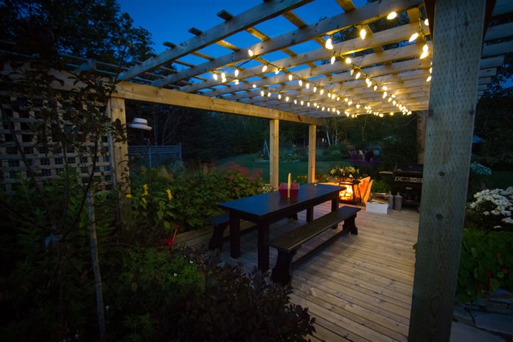
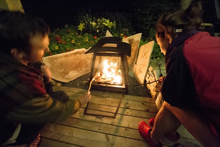
The night shots were with the Canon 7D.
Note: If you hover over the image and the image filename starts with IMG it’s the Canon EOS-M (while riding) or 7D (at night). If it starts with P###, it’s the Panasonic.
Enjoy!
Wich helmet is it? Will Canon M replace your Panasonic?
I’ll have to get back on exact model (away for a few days).
The EOS-M won’t replace Panasonic normally, as it’s a bit heavier for riding running – and most importantly it’s not fully waterproofed.
I really only took it that day while riding in that I knew it would be dry, and the scenery awesome.
Now, I know you take great pics, have seen “a few” before :), but somehow did not realize this place could be this gorgeous! Great write-up, as always, congrats!
Looks like a fantastic ride! So pretty!!!
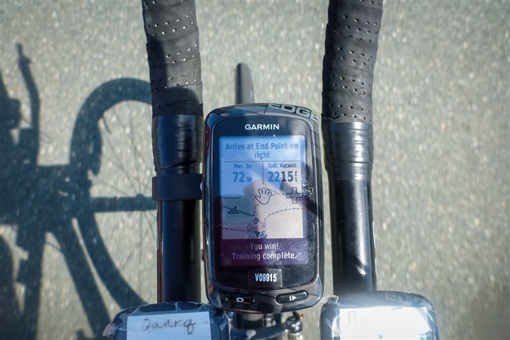
I think this is a feature you need to tell Garmin to include on run watches as well. I want to have my FR70 say YOU WIN to me too :)